
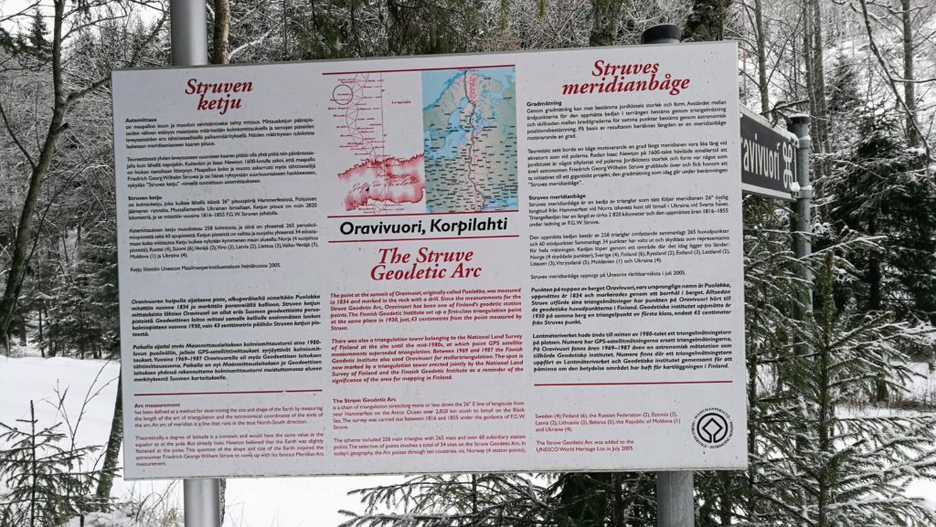
The Struve Geodetic Arc is a chain of triangulation stretching more or less down the 26° E line of longitude from near Hammerfest on the Arctic Ocean over 2,820 km south to Izmail on the Black Sea. The survey was carried out between 1816 and 1855 under the guidance of F.G.W. Struve.
Theoretically, a degree of latitude is a constant and would have the same value at the equator as at the pole. But already Isaac Newton believed that the Earth was slightly flattened at the poles. This question of the shape and size of the Earth inspired the astronomer Friedrich George Wilhern Struve to come up with his famous Meridian Arc measurement.
The scheme included 258 main triangles with 265 not and over 60 subsidiary station points.The selection of points involves a total of 34 sites on the Struve Geodetic Arc. In today’s geography. the Arc passes through ten countries, viz. Norway (4 station points), Sweden (4), Finland (6), the Russian Federation (2), Estonia (3). Latvia (2). Lithuania (3). Belarus (5), the Republic of Moldova (1), and Ukraine (4).
All of the points in the Arc were designated as UNESCO World Heritage sites in 2005.
The site at Puolakka is easily accessible from central Finland, for example from Tampere, or especially Jyväskylä.
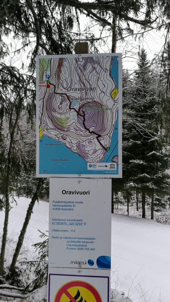
There is parking at the start of the walk, which is not maintained during the winter. But there is ample space on the roadside for parking. The path itself was in good condition but the road to the start could be difficult after a heavy snowfall.
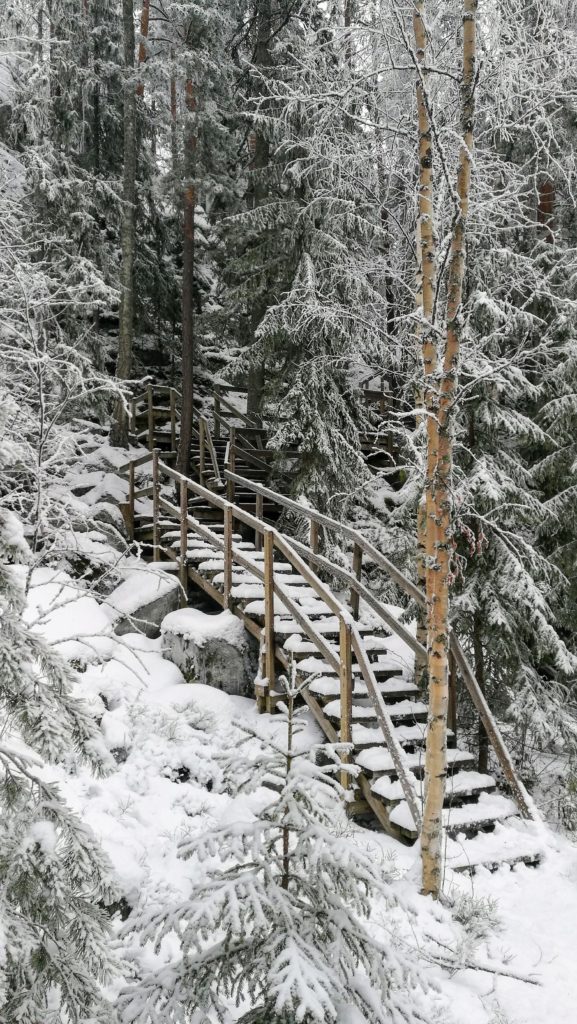
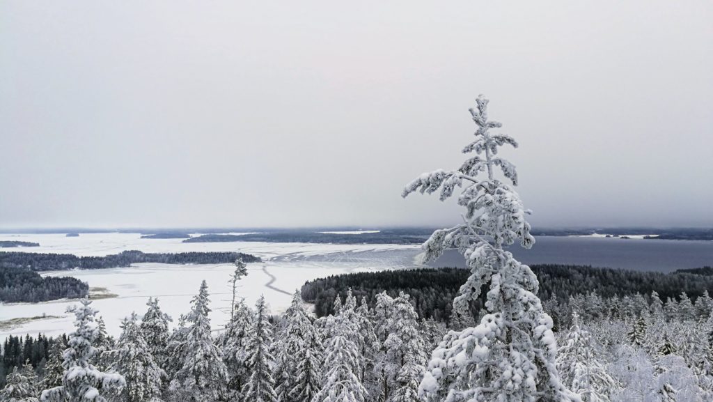
The walk itself is 1km, all uphill. The path is very well maintained with stairs for the steeper sections. The view is definitely worth the time to visit.
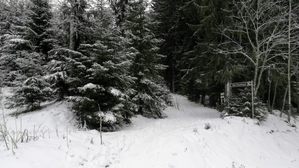
Beginning of the walk.
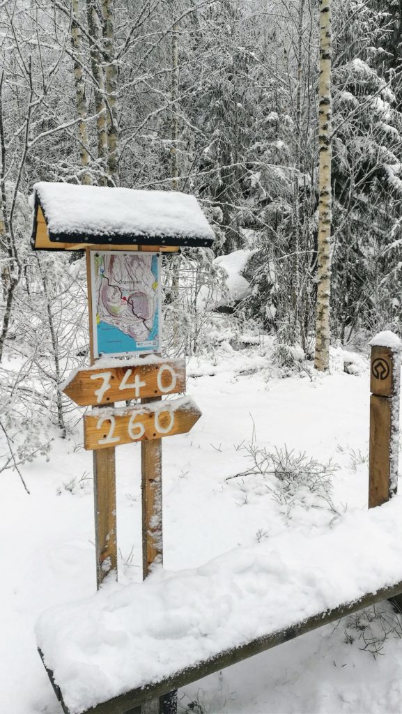
740 meters to the start and 260 to the lookout tower
Stairs on the path
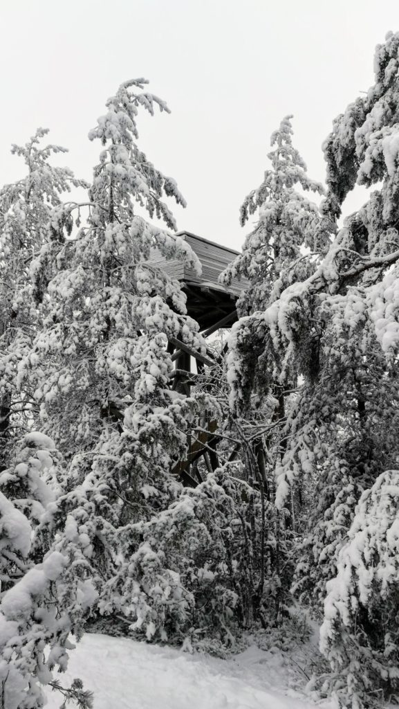
Lookout tower
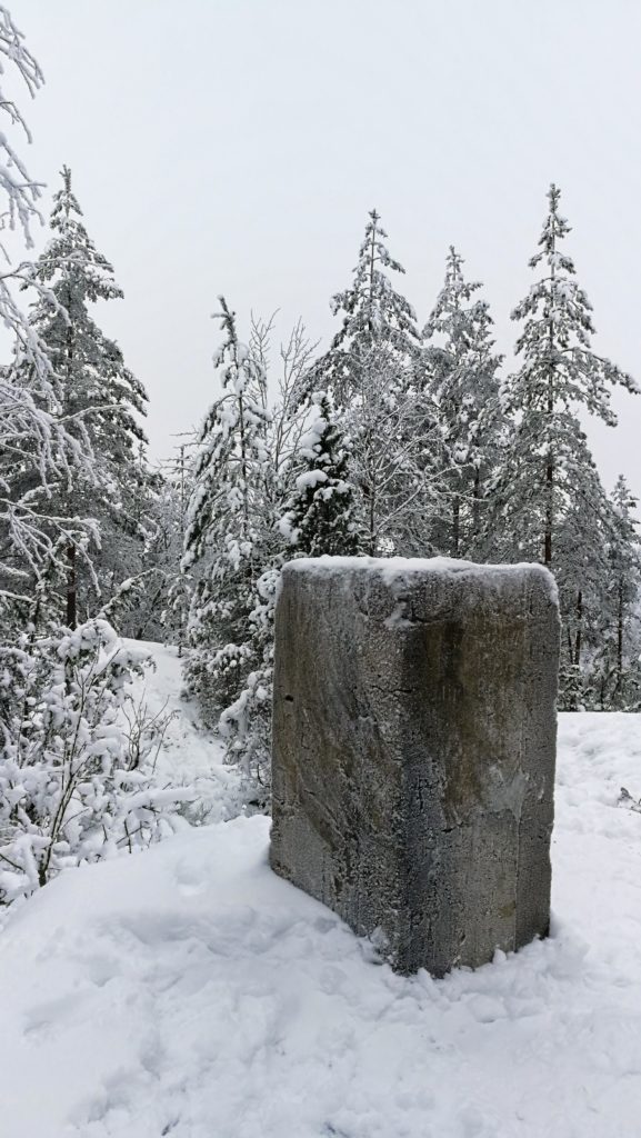
Triangulation pillar at the top
View from the tower
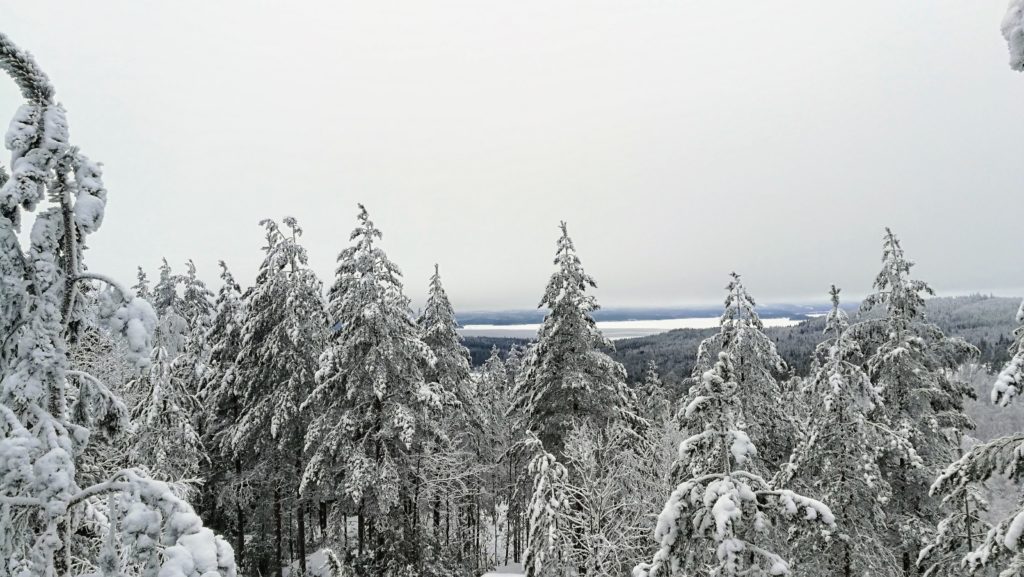
View from the tower
Info board at the start of the walk
Path map
Walk path: