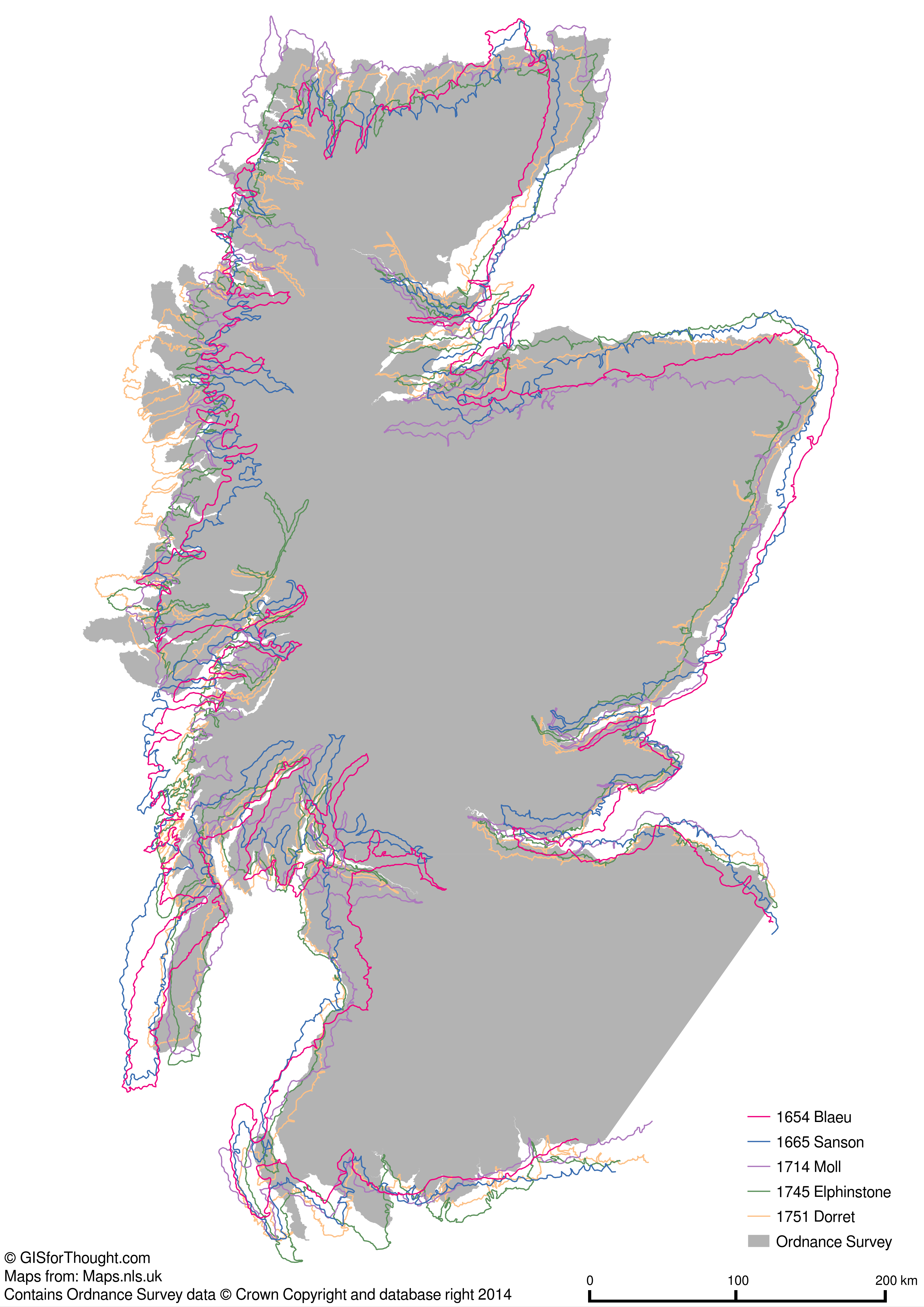
This is a topic I have covered in the past as well: Scotland’s Changing Outline
But the 1654 Blaeu Atlas of Scotland was an influential cartographic masterpiece. The National Library of Scotland have covered it’s publication history very well: The history behind the publication of the Blaeu Atlas of Scotland.
When the sixth volume of Joannis Blaeu’s Atlas Novus was released in 1655, the maps of Scotland formed one eighth of the total maps in his world atlas. Making Scotland one of the best mapped countries of the seventeenth-century world.
The animations include the following maps from the National Library of Scotland:
- [1654] – Robert GORDON – Scotia Regnum… (1654 Blaeu)
- 1665 – Nicolas Sanson – L’Escosse Royaume
- [1687] – Robert Morden – A mapp of Scotland made by R. Gordon
- 1714 – Hermann Moll – The north part of Great Britain called Scotland.
- 1745 – John Elphinstone – A new & correct map of North Britain
- 1751 – James Dorret – A correct map of Scotland from new surveys
Blaeu Compared to Modern Day Outline from OpenStreetMap
Cycling Through the Maps by Publication Date
Blaeu – 1654
Sanson – 1665
Morden – 1687
Moll – 1714
Elphinstone – 1745
Dorret – 1751
Modern
Blaeu – 1654
Comparison to Modern Day In Between
Blaeu – 1654
Modern
Sanson – 1665
Modern
Morden – 1687
Modern
Moll – 1714
Modern
Elphinstone – 1745
Modern
Dorret – 1751
Modern
Blaeu – 1654
Comparison to Blaeu
Blaeu – 1654
Sanson – 1665
Blaeu – 1654
Morden – 1687
Blaeu – 1654
Moll – 1714
Blaeu – 1654
Elphinstone – 1745
Blaeu – 1654
Dorret – 1751
Blaeu – 1654
Overlaid
From: Scotland’s Changing Outline

Read about the maps here: Historic Maps of Scotland from Blaeu to Dorret (1600-1700)
Merch
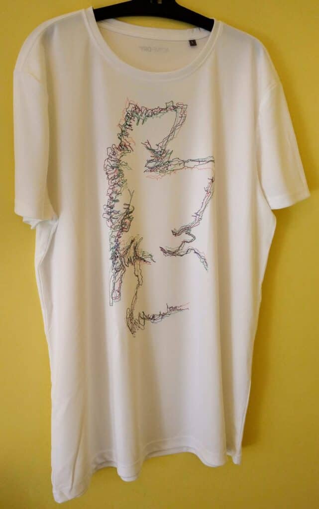
There is also a t-shirt with all of the outlines overlaid, if you are a fan of Scottish cartographic history.

