2018 was a very productive year for OpenStreetMap in Ireland.
Around 70k nodes added, 60k ways added, and 160k polygons added.
Finally a company was formed to facilitate becoming a fully fledged local chapter.
What does that look like day to day:
GIS and Mapping Blog from Ireland
2018 was a very productive year for OpenStreetMap in Ireland.
Around 70k nodes added, 60k ways added, and 160k polygons added.
Finally a company was formed to facilitate becoming a fully fledged local chapter.
What does that look like day to day:
Save as a text file ending in .xml like qgis_scales.xml
These are the scales OpenStreetMap tiles are rendered in for 96 dpi, so the map will look sharp on most monitors. These are the scales for the zoom levels.
The xml file can then be loaded into the project from:
Project> Project Properties…> General> Project scales
<qgsScales version="1.0">
    <scale value="1:554678932"/>
    <scale value="1:277339466"/>
    <scale value="1:138669733"/>
    <scale value="1:69334866"/>
    <scale value="1:34667433"/>
    <scale value="1:17333716"/>
    <scale value="1:8666858"/>
    <scale value="1:4333429"/>
    <scale value="1:2166714"/>
    <scale value="1:1083357"/>
    <scale value="1:541678"/>
    <scale value="1:270839"/>
    <scale value="1:135419"/>
    <scale value="1:67709"/>
    <scale value="1:33854"/>
    <scale value="1:16927"/>
    <scale value="1:8463"/>
    <scale value="1:4231"/>
    <scale value="1:2115"/>
</qgsScales>
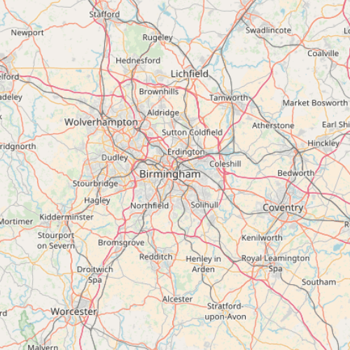
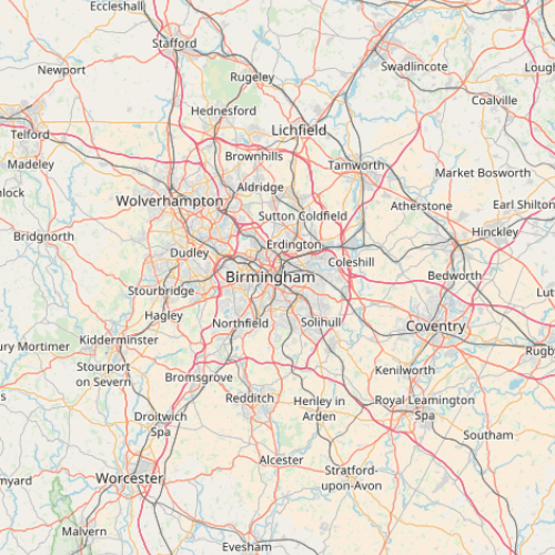
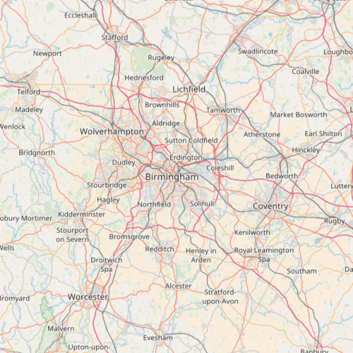
Example:
1,000,000 (QGIS default):

1,083,357 (OSM wiki):

1,155,584 (From: 3liz):

Scales from:
OSM wiki
Zoom scales.