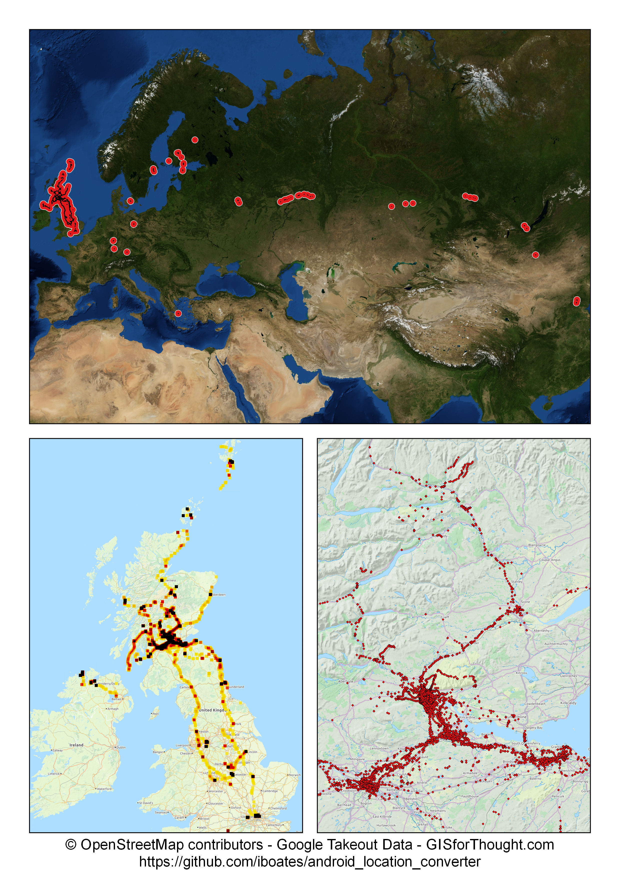
A cool python script has been created that allows you to easily convert your google location (Takeout) data into a shapefile.
You can get your data from: Google Takeout
And you only need the “Location History – JSON format”
The conversion python script can be downloaded from: GitHub
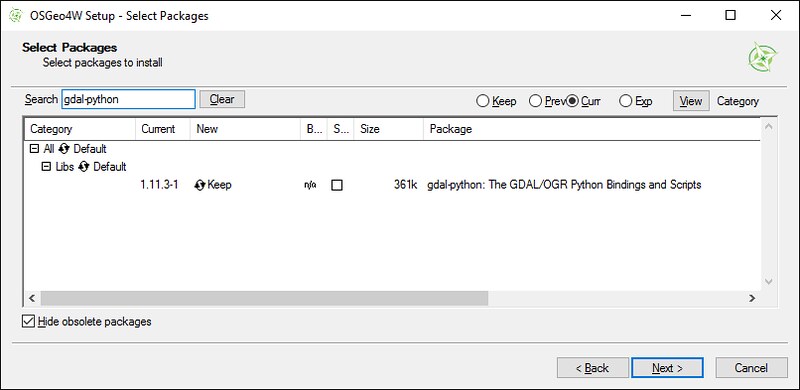
The python script requires GDAL and its python bindings, but can be easily run if you installed QGIS using the OSGeo4W installer. From the advanced installer, under the Lib section.

Then using the OSGeo4W Shell.

Run the command:
python "C:\FullPath_to_Python_Script\read_location_data.py" "C:\FullPath_to_Input_File\LocationHistory.json" "C:\output_path" output_file_name ESRI_Shapefile
Example:
python "C:\FilePath\Takeout\Location History\read_location_data.py" "C:\FilePath\Takeout\Location History\LocationHistory.json" "C:\FilePath\Takeout\Location History" output ESRI_Shapefile

