An updated version can be found at: Every Person in Scotland on the Map
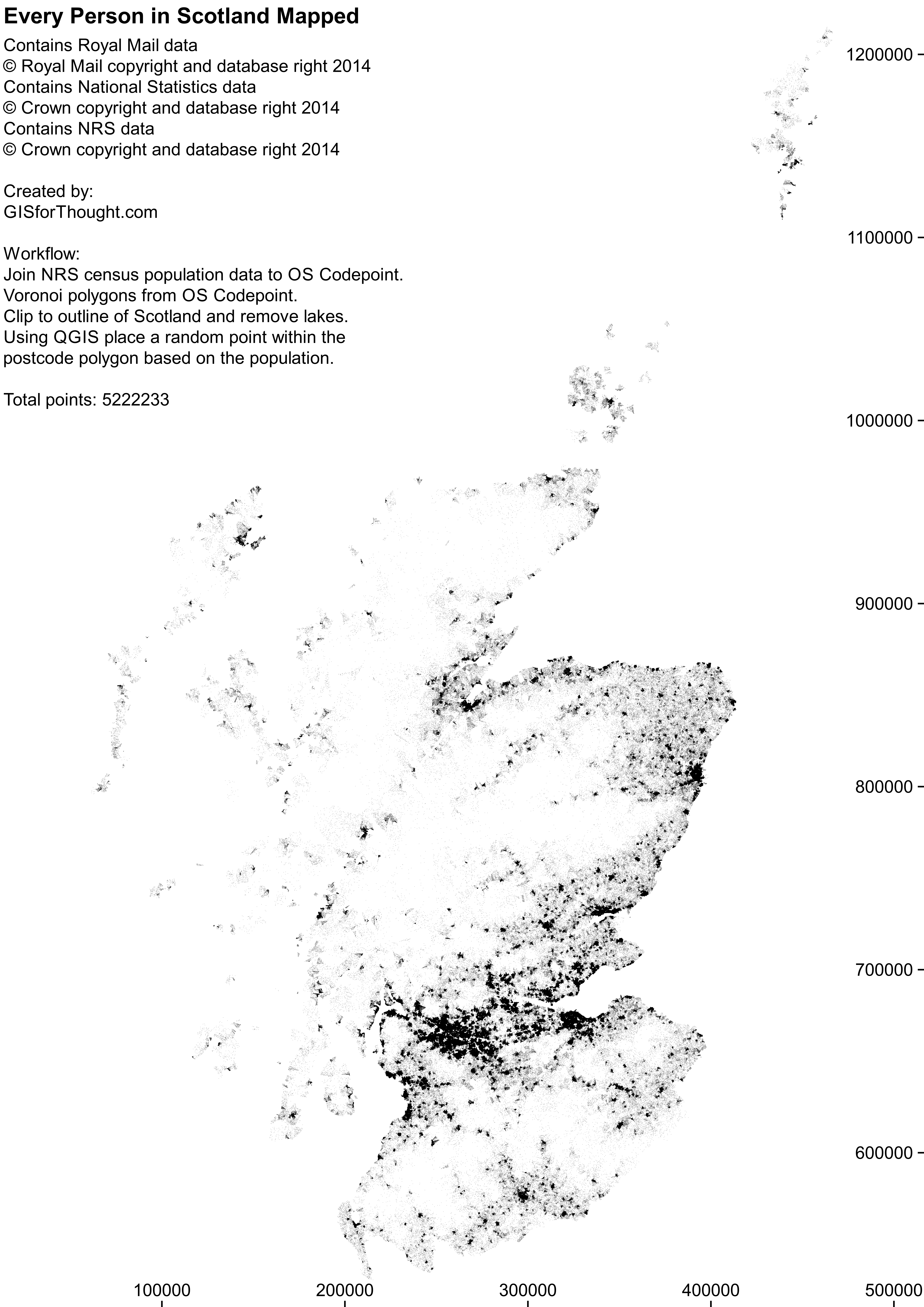
One random point on the map for each person within a postcode in Scotland.
Workflow:
OS Code-Point Open points.
>
Voronoi polygons from the postcodes.
>
Join 2011 Scottish Census postcode population counts to Voronoi polygons.
>
Clip the resulting polygons to the Scottish coastline (using PostGIS for time saving).
>
Intersect the lakes out of the resulting polygons.
>
Random point in polygon into the postcode Voronoi polygons (minus lakes), using the census counts.
>
Output:
An easier approach would have been to use the NRS supplied postcode areas for Scotland mentioned in previous posts. A better display of this data would be through a web mapping environment, which is working on my home environment but lacking hosting.

