I was once at an OpenStreetMap conference where 6 out of the 8 talks in one day had an image of the John Snow Cholera Map. And no surprise, it is an excellent, relatable, and interesting early example of GIS. The spatial relationship is unmistakable.
Original map overlaid on modern day London:
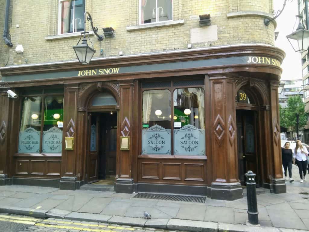
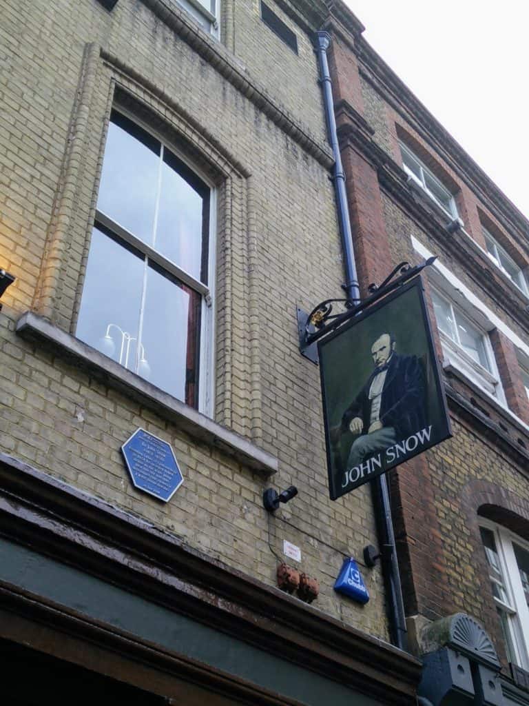
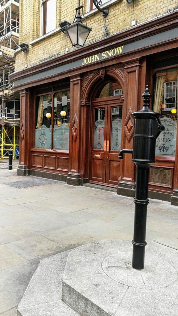
The site of the Broad Pump is now the location of a pub called the “John Snow”, which is well worth a visit if you are in London.
John Snow location:
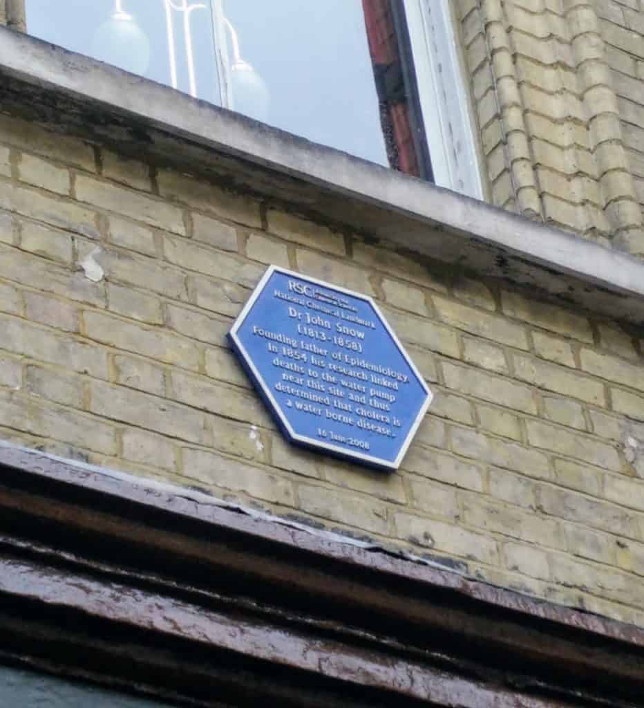
John Snow Pub Sign with blue plaque Blue plaque Pump without handle memorial
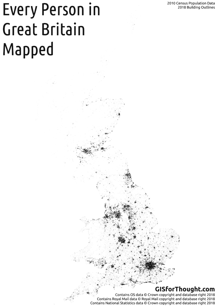
Postcodes were then created based on the ONS Postcode Directory, filtering for postcodes that were live in 2011 (which is the latest census data). The postcode centroids were turned into polygons using voronoi polygons.
Then we simply select all of the buildings in a postcode from Ordnance Survey, Open Map product, filtering out most schools and hospitals. Then we put a random point in a random building for each person in that postcode.
I would have loved to include Northern Ireland, but the Ordnance Survey of Northern Ireland do not have an equivalent open building outline dataset, like Open Map from the Ordnance Survey.