
Last week I was invited to give a workshop at the Second Irish OSGeo Conference in Portlaoise. The event was a great success with a attendees from across the OSGeo space, from academics to startups.
I also volunteered to give a talk on OpenStreetMap (OSM) in Ireland. Since we are currently in the process of setting up an official chapter of OSM in Ireland. Check out OpenStreetmaMap.ie if you want to help.
Check out my full talk: here
But some of the visuals are more interesting than the talk as a whole.
To start out, the first edits in Ireland.
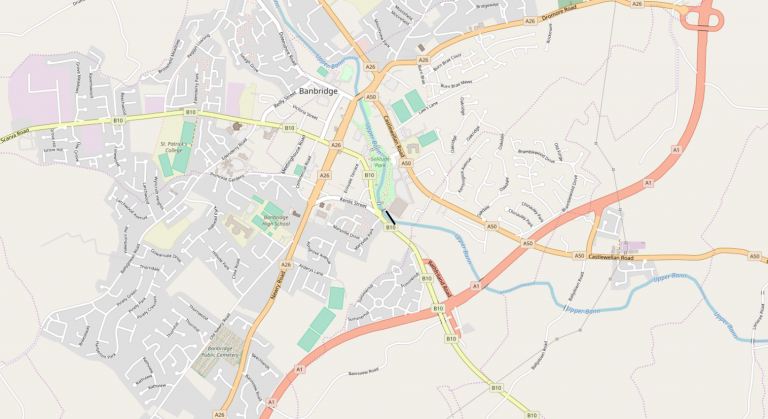
The first line:

Located in Banbridge, in Northern Ireland between Newry and Belfast:
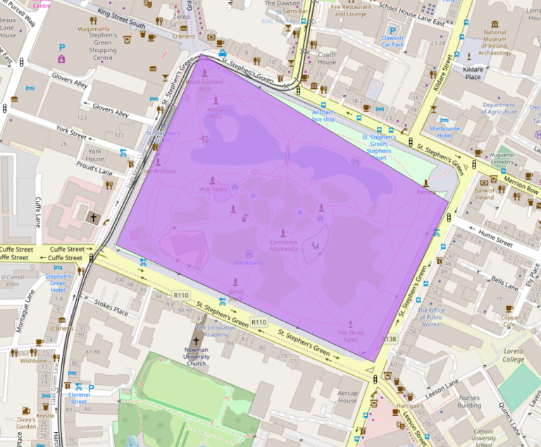
First polygon:

Clearly St. Stephens Green, a great park in Dublin:
Then a look at the full history of roads in Ireland on OpenStreetMap:
A large part of the history of OpenStreetMap in Ireland is the townlands project. Townlands in Ireland are small divisions of land, often used in addressing for example. Your address could be: Mr. O’Brien, Blue house, Tawny (the townland), Donegal. The postman knows where you are.
There are over 61,000 townlands in Ireland. Traced manually from 650+ out of copyright OSi maps from Trinity College. Check out Townlands.ie for more info.
The project ran from 2012 to 2017 and the progress is clear when charting the history of boundaries in OpenStreetMap in Ireland:
And since the conference was held in Portlaoise, here is how it looks over time in OSM:
For the script to generate these histories see: Creating OpenStreetMap History Visualisations