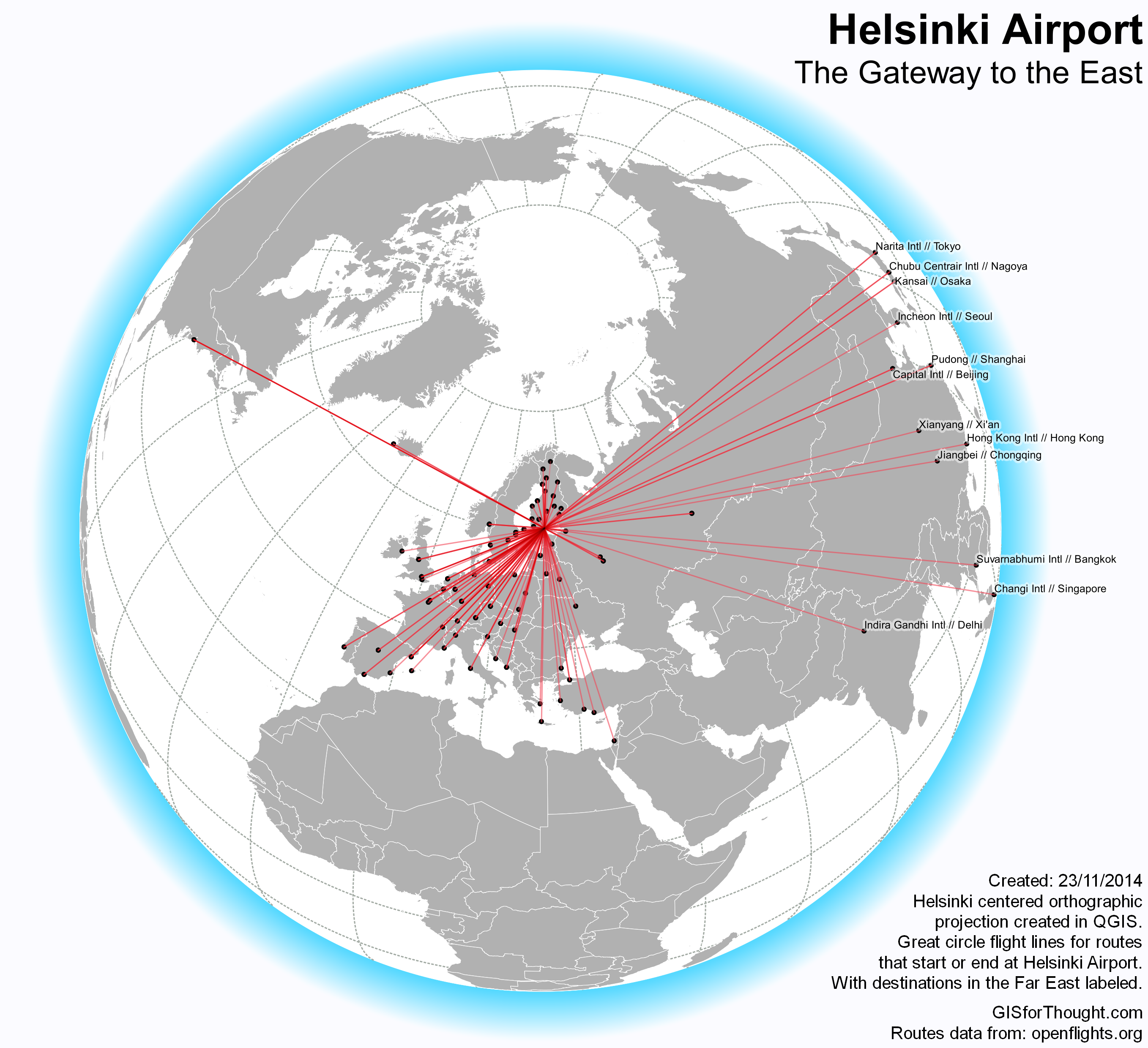
There is an excellent post by Anita Graser about creating Great Circles in PostGIS.
However as of PostGIS version 2.1 this can be done in a different (better) way, using the geography functions.
For more information about geography, see:
Introduction to PostGIS – Geography
This allows us to create the great circles without having to add in a new projection.
So we first need to create our three tables in PostGIS:
CREATE TABLE airlines

(Airline_ID integer,Name varchar,Alias varchar,IATA varchar,ICAO varchar,Callsign varchar,Country varchar,Active varchar, uid Serial);
CREATE TABLE routes

(Airline varchar,Airline_ID integer,Source_airport varchar,Source_airport_ID integer,Destination_airport varchar,Destination_airport_ID integer,Codeshare varchar,Stops varchar,Equipment varchar, uid Serial);
CREATE TABLE airports

(Airport_ID integer,Name varchar,City varchar,Country varchar,IATA varchar,ICAO varchar,Latitude double precision,Longitude double precision,Altitude double precision,Timezone double precision, dst varchar, tz varchar, uid Serial);
The data itself can be found at: openflights.org/data.html
We can then load our data through PGAdminIII. You can just right click on a table and select import. Remember to not load the “uid” column, because it is our primary key which will be populated automatically and not in the original data. You will also want to define it as the primary key.
Now we need a geometry column in the airports dataset.
ALTER TABLE airports ADD COLUMN geom geometry(POINT,4326);
We can define our geometry in the airports dataset from the Latitude and Longitude columns.
UPDATE airports SET geom = ST_SetSRID(ST_MakePoint(longitude,latitude),4326);
And create a spatial index.
CREATE INDEX idx_airports_geom ON airports USING GIST(geom);
Then we can create a flights table.
CREATE TABLE flights AS

SELECT

  air1.geom AS source_geom,

  air2.geom AS destination_geom,

  airlines.name,

  routes.equipment,

  routes.destination_airport_id,

  routes.source_airport_id,

  routes.destination_airport,

  routes.source_airport

FROM

  public.routes,

  public.airlines,

  public.airports air1,

  public.airports air2

WHERE

  routes.airline_id = airlines.airline_id AND

  routes.source_airport_id = air1.airport_id AND

  routes.destination_airport_id = air2.airport_id;
This table will have a source geometry and a destination geometry along with a few other attributes. I added a primary key to this table as well.
To filter out a specific airport, for example Honolulu we use the “Airport ID”.
CREATE TABLE honolulu_flights AS

SELECT * FROM flights

WHERE destination_airport_id = 3728 OR source_airport_id = 3728;
Then we add in the actual line geometry column.
ALTER TABLE honolulu_flights ADD COLUMN line_geom geometry(LineString,4326);
And populating the great circle geomtrey:
UPDATE honolulu_flights

SET line_geom =

  (ST_Segmentize(

  (ST_MakeLine(source_geom, destination_geom)::geography)

  ,100000)::geometry)

;
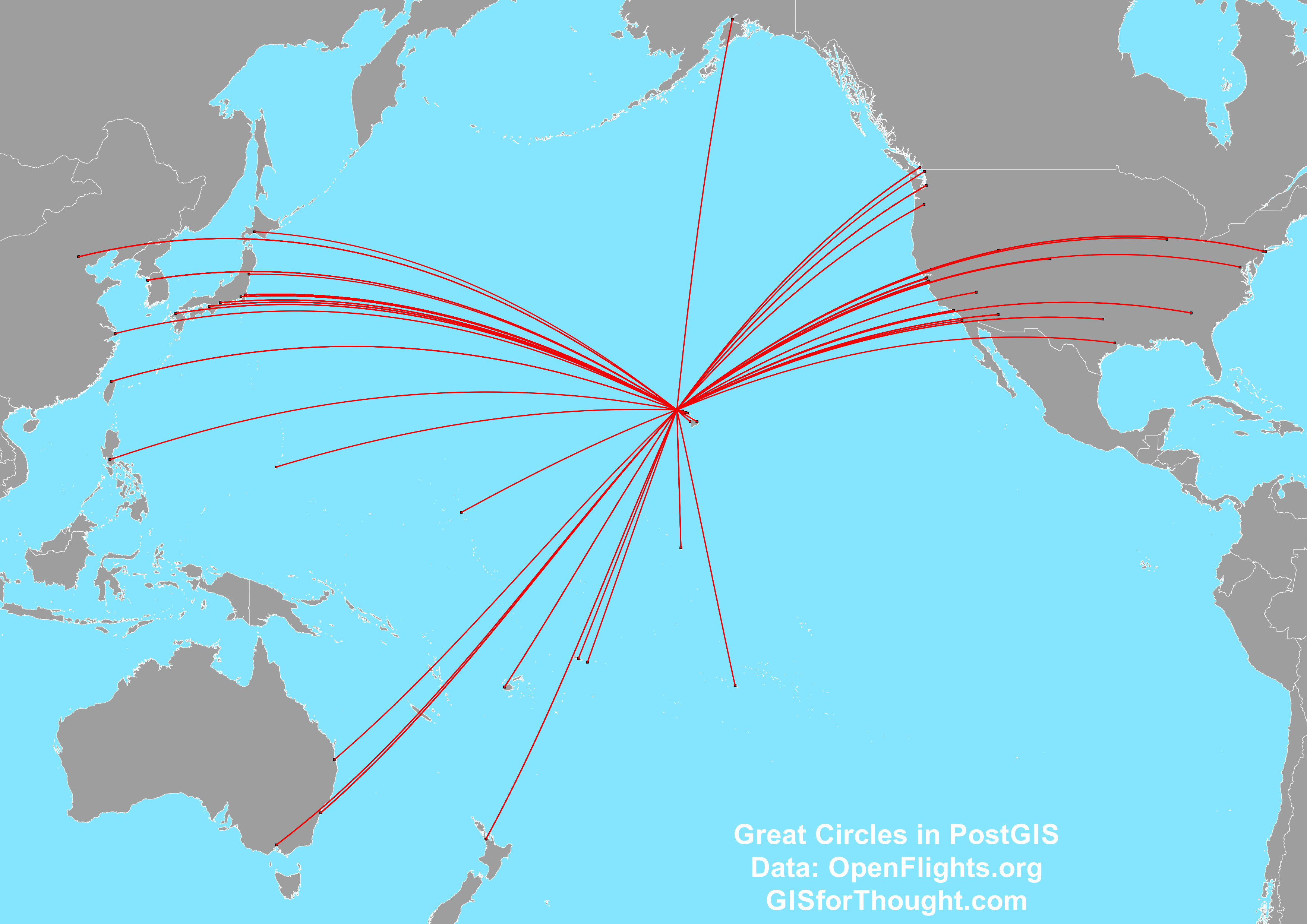
This is works great to an extent, but QGIS still has some trouble with lines that cross the date-line.
![Screenshot[32]](https://gisforthought.com/media/2014-11-26_15686250517_1c0f4e1d12_o.png)
We can fix this using a Pacific centered projection like EPSG:3832.
![Screenshot[33]](https://gisforthought.com/media/2014-11-26_15252361853_5ba0f1ca35_o.png)
We can either set QGIS to the projection. Or we can set our geometry to this projection when creating the flight lines.
ALTER TABLE honolulu_flights ADD COLUMN line_geom geometry(LineString,3832);
UPDATE honolulu_flights

SET line_geom =

  ST_Transform((ST_Segmentize(

  (ST_MakeLine(source_geom, destination_geom)::geography)

  ,100000)::geometry), 3832)

;
Thanks to:
The World Is A Village – PostGIS: using latitude and longitude to create geometry
http://gis.stackexchange.com/questions/84443/what-is-this-postgis-query-doing-to-show-great-circle-connections