While Web Mapping Services (WMS) are becoming more common, their functionality is limited. They are easier to set up and run than a Web Feature Service (WFS) but are mainly useful for pre-rendered or background mapping.
Scottish Natural Heritage (SNH) provide an extensive amount of datasets as WMS, through their Natural Spaces data store.
I thought it would be interesting to see what kind of result could be achieved using only WMS.
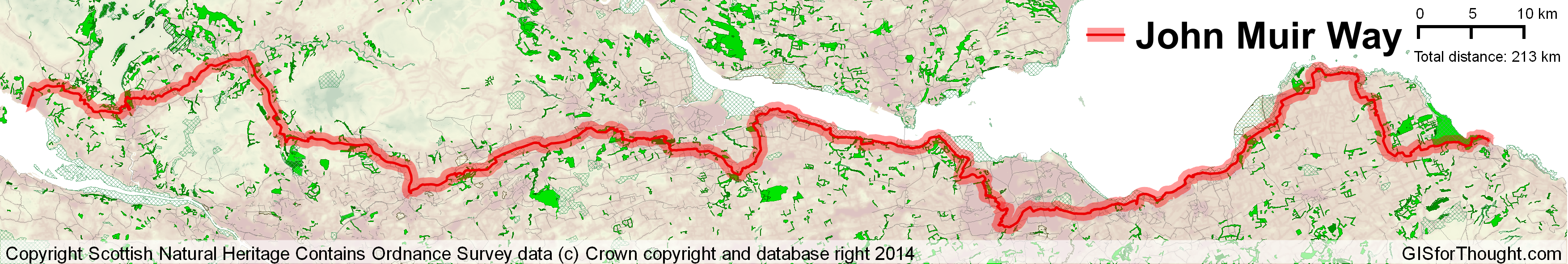
The result is a map of the John Muir Way, which is a long distance walking route in the central belt of Scotland. Apart from the way itself (it was not provided through the WMS), all data is obtained through the SNH WMS. Some styling could be done using the colorize and layer blending options in QGIS.